|
|
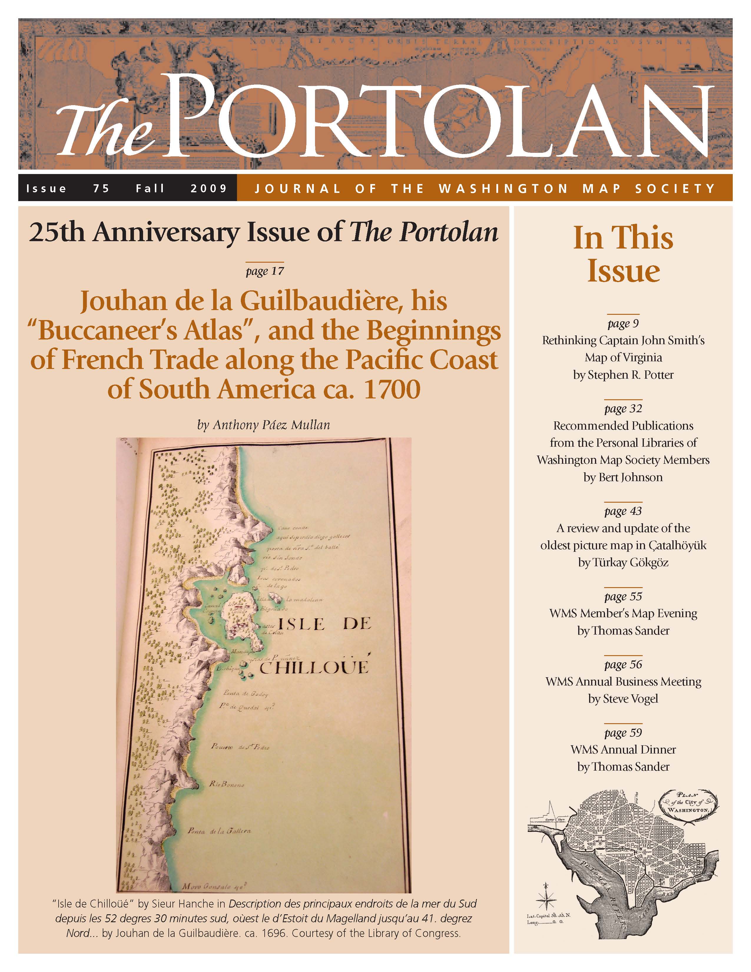
The Portolan Issue #75 - Fall 2009 ARTICLES Rethinking Captain John Smith’s Map of Virginia by Stephen R. Potter Jouhan de la Guilbaudière, his “Buccaneer’s Atlas”, and the Beginnings of French Trade along the Pacific Coast of South America ca. 1700 by Anthony Páez Mullan Recommended Publications from the Personal Libraries of Washington Map Society Members by Bert Johnson Cartographic properties and current situation of the oldest picture map in Çatalhöyük by Türkay Gökgöz RECENT PUBLICATIONS This regular feature, a bibliographic listing of articles and books appearing worldwide on antique maps and globes and the history of cartography, is compiled by Joel Kovarsky. BOOK REVIEWS Census of Portolan Charts & Atlases (Reviewer: Bob Karrow) Maps of Malta from the Collection of Albert Ganado (Reviewer: Howard Lange) A Railroad Atlas of the United States in 1946 (Volume 3 – Indiana, Lower Michigan & Ohio) (Reviewer: John Baesch) SHORTER ITEMS 1. Washington Map Society Meetings, September 2009 – February 2010 2. President’s Fall 2009 Letter, by Howard Lange 3. Exhibitions and Meetings 4. Map Site Seeing 5. Ristow Prize Competition 2010 6. Reopening of Osher Map Library and Smith Center for Cartographic Education, October 2009 7. WMS Member’s Map Evening, March 2009, by Thomas F. Sander 8. WMS Business Meeting, April 2009, by Steve Vogel 9. WMS Annual Dinner, May 2009, by Thomas F. Sander 10. Spotlight on the WMS Membership – William Brandenburg, Martha Vestal Clarke, Tom Rohrer 11. Cartographic Notes, by Thomas F. Sander |
© 2021 Washington Map Society. All Rights Reserved. |
|