|
|
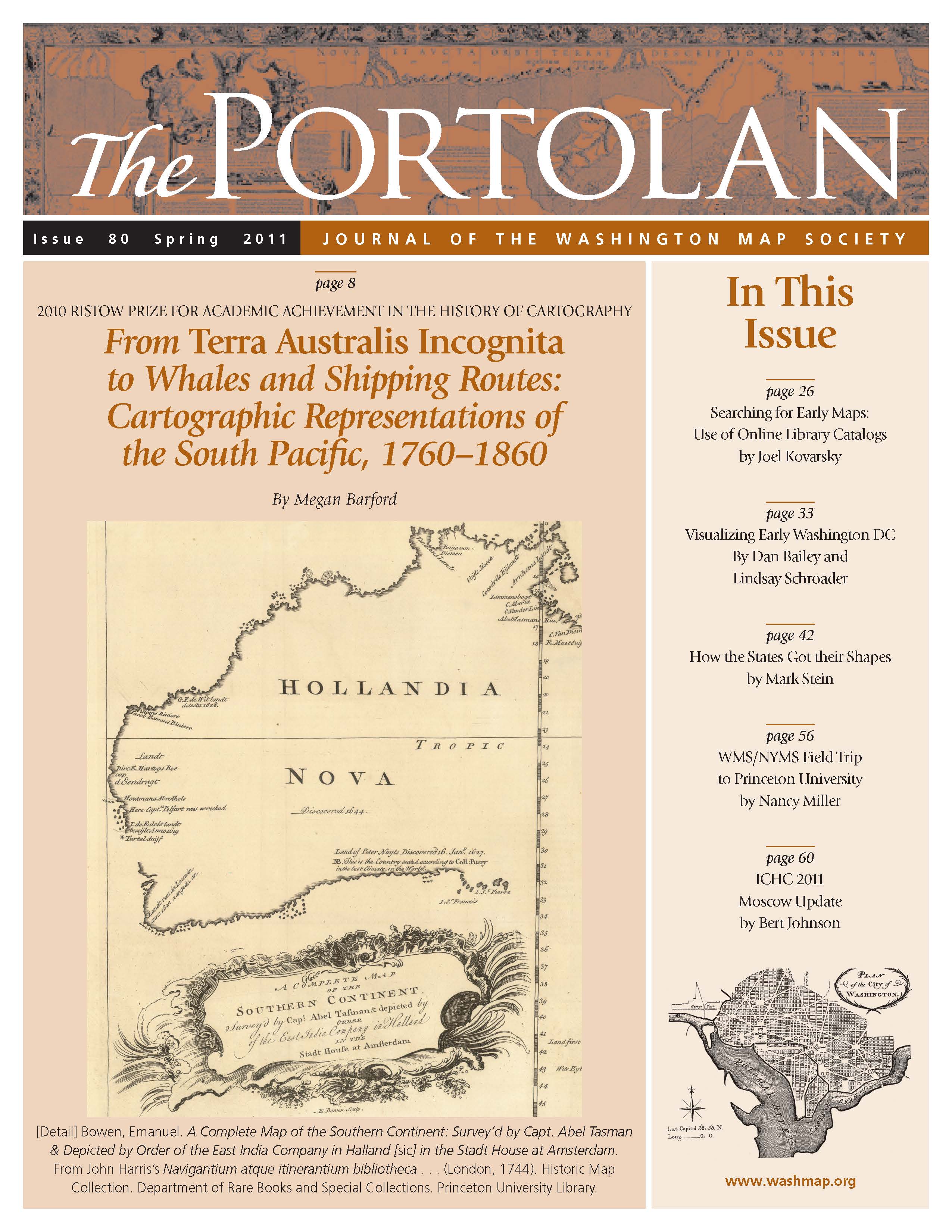
The Portolan Issue #80 - Spring 2011 ARTICLES From Terra Australis Incognita to Whales and Shipping Routes: Cartographic Representations of the South Pacific, 1760–1860 by Megan Barford 2010 Risrow Prize Winner Searching for Early Maps: Use of Online Library Catalogs by Joel Kovarsky Visualizing Early Washington DC by Dan Bailey and Lindsay Schroader How the States Got Their Shapes by Mark Stein WMS/NYMS Field Trip to Map Exhibit in Princeton NJ by Nancy Goddin Miller and Michael Miller ICHC 24 – Moscow Update by Bert Johnson RECENT PUBLICATIONS This regular feature, a bibliographic listing of articles and books appearing worldwide on antique maps and globes and the history of cartography, is compiled by Joel Kovarsky. BOOK REVIEWS Special Maps of Persia, 1477–1925 (Reviewer: Bert Johnson) Sailing for the East – History and catalogue of manuscript charts on vellum of the Dutch East India Company (VOC) 1602–1799 (Reviewer: Richard Pflederer) Eye of the Explorer – Views of the Northern Pacific Railroad Survey, 1853–54 (Reviewer: Alf Jordan) SHORTER ITEMS 1. Washington Map Society Meetings, April – October 2011 2. Vice President’s Spring 2011 Letter, by J. C. McElveen 3. Exhibitions and Meetings 4. Map Site Seeing 5. Letters to the Editor 6. Ristow Prize Competition 2011 7. Spotlight on the WMS Membership – Judith Jones, Jacob (Jim) Rems, Myron West 8. Cartographic Notes, by Thomas F. Sander |
© 2021 Washington Map Society. All Rights Reserved. |
|