|
|
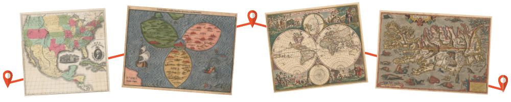
The Portolan Issue #96 - Fall 2016 ARTICLES Henry B. Looker - 1890s Surveyor, Soldier and Mapmaker - Transformed Washington DC, by Chas Langelan Mouzon’s ghost writer, or, the true Author/Compiler of the “Mouzon” map of the Carolinas, by Jay Lester On the History of the Book... American Geography and Geographers: Toward Geographical Science, by Geoffrey Martin Poland’s Cartographic Declaration of Independence: Eugeniusz Romer and his 1916 Atlas of Poland, by Ryan J. Moore Moore, Ryan The Albert H. Small Map Collection, Part 3, by James M. Goode RECENT PUBLICATIONS This regular feature, a bibliographic listing of articles and books appearing worldwide on antique maps and globes and the history of cartography, is compiled by Joel Kovarsky. BOOK REVIEWS The Pre-Siege Maps of Malta: 2nd Century AD – 1564 (Reviewer: Bert Johnson) The Mullan Road – Carving a Passage through the Frontier Northwest, 1859-1862 (Reviewer: JC McElveen) The Sea Chart – The Illustrated History of Nautical Maps and Navigational Charts – 2nd Edition (Reviewer: Chuck Ashman) SHORTER ITEMS 1. President’s Summer/Fall 2016 Letter 2. Washington Map Society Meetings: September – December 2016 3. Exhibitions and Meetings 4. Letters to the Editor 5. Map Site Seeing 6. Ristow Prize Competition 2017 7. WMS Annual Business Meeting, April 2016, by Hal Meinheit 8. WMS Annual Dinner, May 2016, by Thomas Sander 9. The WMS Website, by Leigh Lockwood 10. Cartographic Meetings in Lisbon, Portugal – June 2016, by John Docktor 11. Cartographic Notes, by Thomas Sander 12. Spotlight on the WMS Membership – Jonathan Potter, Fredric Shauger, Tom Touchton |

© 2021 Washington Map Society. All Rights Reserved. |
|